World map showing all countries and microstates with labeled borders.
Keywords
earth,
australia,
cartography,
map,
africa,
illustration,
asia,
border,
geography,
graphic,
isolated,
white,
europa,
country,
continent,
detailed,
global,
globe,
america,
political,
topography,
world map,
art,
modern,
north,
south,
design,
outline,
background,
flat,
worldwide,
education,
oceania,
ocean,
us,
continent,
country,
atlas,
planet,
europa,
earth
 English
 Afrikaans formal
 Arabic
 Azerbaijan
 Brazilian
 Bulgarian
 Catalan
 Chinese simplified
 Croatian
 Czech
Czech Danish
 Dutch
Dutch Estonian
 Finnish
 French
 Georgian
 German
 Greek
Greek Hebrew
 Hungarian
 Icelandic
 Indonesian
 Italian
 Japanese
 Latvian
 Lithuanian
 Malaysian
 Norwegian
 Persian
 Polish
 Portuguese
 Romanian
 Russian
 Serbian
 Slovakian
 Slovenian
 Spanish
 Swedish
 Thai
Thai Turkish
 Ukrainian
 Vietnamese
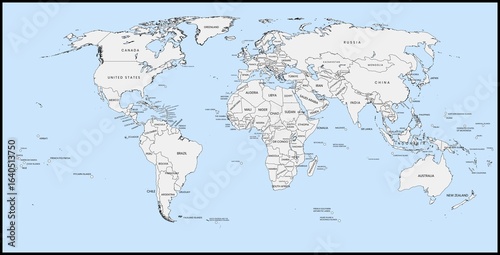
)